Maps, Directions & Transportation
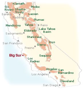
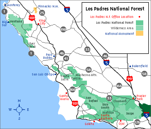
The Big Sur Valley – where many businesses are located – is 26 miles South of Carmel on the central California coast, surrounded by the Ventana Wilderness Area and the Los Padres National Forest. The only access to the area is through Highway 1.
The Big Sur Chamber of Commerce offers these directions as a starting point for your trip to Big Sur. We suggest that you consult your own maps to figure out the best route for you as there are several routes one can follow to get to Big Sur. The inclusion of the links below is not an endorsement, rather, we have consolidated them here so as to be more useful to you in making your travel plans.
Restroom locations along the Big Sur coast.
The simplest directions from the nearest major cities:
Directions from San Francisco to Big Sur:
Take Highway 101 South to Highway 156 West. Connect to Highway 1 South. Continue through Monterey and Carmel to Big Sur. Total distance is about 150 miles.
Directions from Los Angeles to Big Sur*:
*Due to the Regent's Slide blocking the highway on the South Coast, Southern California travelers will have to access northern Big Sur from the north.
Take Highway 101 North to Salinas. Connect to Highway 68 West to Monterey where it meets Highway 1. Follow Highway 1 South to Big Sur. Total distance about 350 miles.
Big Sur Maps
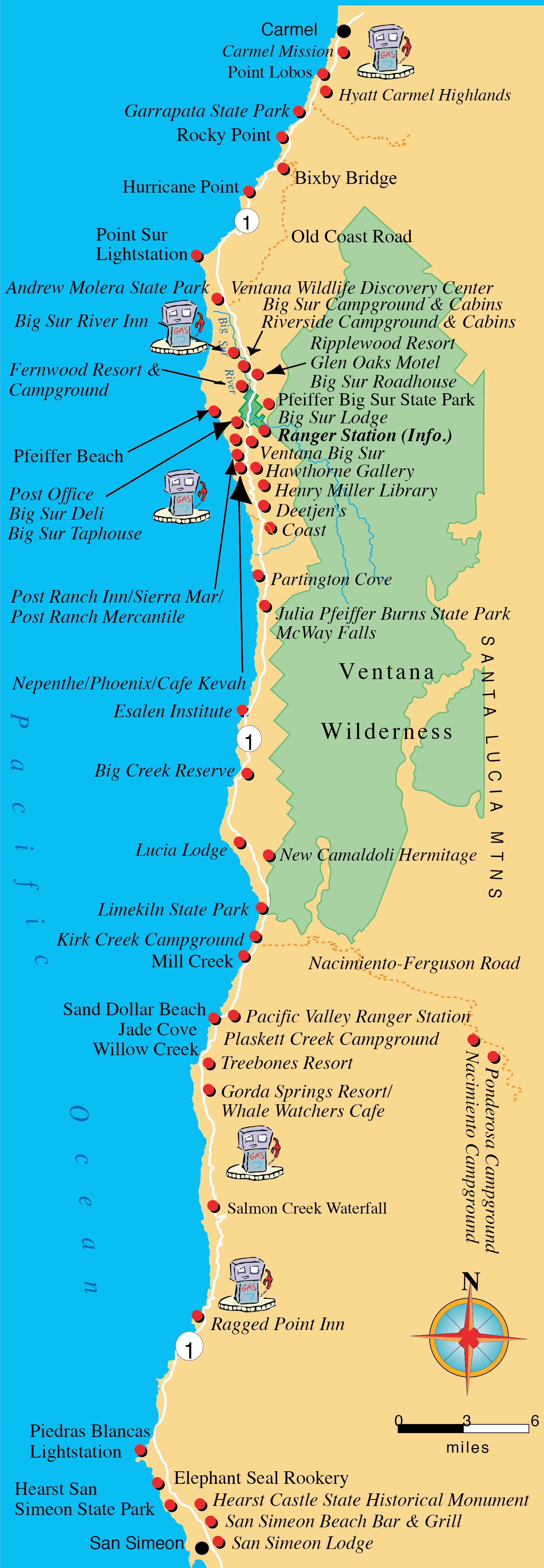
View a larger image of this map
|
Map of the Central Coast (PDF) Detailed map of the Central Coast which includes National Parks, National Forest Land, State Park, Wilderness Areas, Freeways, Highways, Scenic Byways, Major Airports, California Missions, Roadside Rest Areas, Lighthouses, OHV Recreation Areas, Wildlife Viewing Areas and more, all in a convenient pdf format.
Full Map of California (PDF) Detailed map of all of California. Includes roadways, state parks - EVERYTHING!
|
Airports
Monterey Regional Airport
Monterey Airport has a listing of all the airlines, their toll free reservation number, and a link to their websites. Ground transportation including rental car agencies, limosines, taxis, public buses and trains are also listed here. Most major airlines flying into San Jose and San Francisco International Airports have commuter flights to Monterey Airport. Monterey Airport now has direct service from Denver, Colorado, Las Vegas, Nevada, and Phoenix, Arizona. Monterey Airport is located approximately 30 miles from Big Sur Valley.
San José Mineta International Airport
Lists all airlines and ground transportation. Shuttle flights from San Jose to Monterey are available. (Approximately 120 miles from Big Sur).
San Francisco International Airport
Lists all airlines, flight information, ground transportation and more. Shuttle flights from San Francisco to Monterey are available. (Approximately 150 miles from Big Sur).
Oakland International Airport
Lists all airlines, flight schedules, ground transportation, area road traffic and tourist information.
Ground and Public Transportation
Big Sur Tours and More
Discover Big Sur and the Monterey Peninsula in the comfort of a luxury Volvo Sedan. Go where you want, when you want. See the scenary, not the road. Learn the history of the area on this personalized, unscripted, and interactive venture. Driver doubles as photographer. Carmel By The Sea, Carmel Valley wine tasting, Hearst Castle, and Pebble Beach are among the places frequently traveled. Can also accommodate larger groups.
Monterey/Salinas Transit
MST provides bus service to the greater Monterey and Salinas areas as far south as Paso Robles and Big Sur and as far north as Watsonville.
Groome Transportation
Supplies transportation between Monterey and San Jose and San Francisco airports.
AMTRAK
Located a 11 Station Place, Salinas, CA. Direct service from Seattle or Los Angeles on the Coast Starlight wth onward bus connections to Monterey and Carmel.